


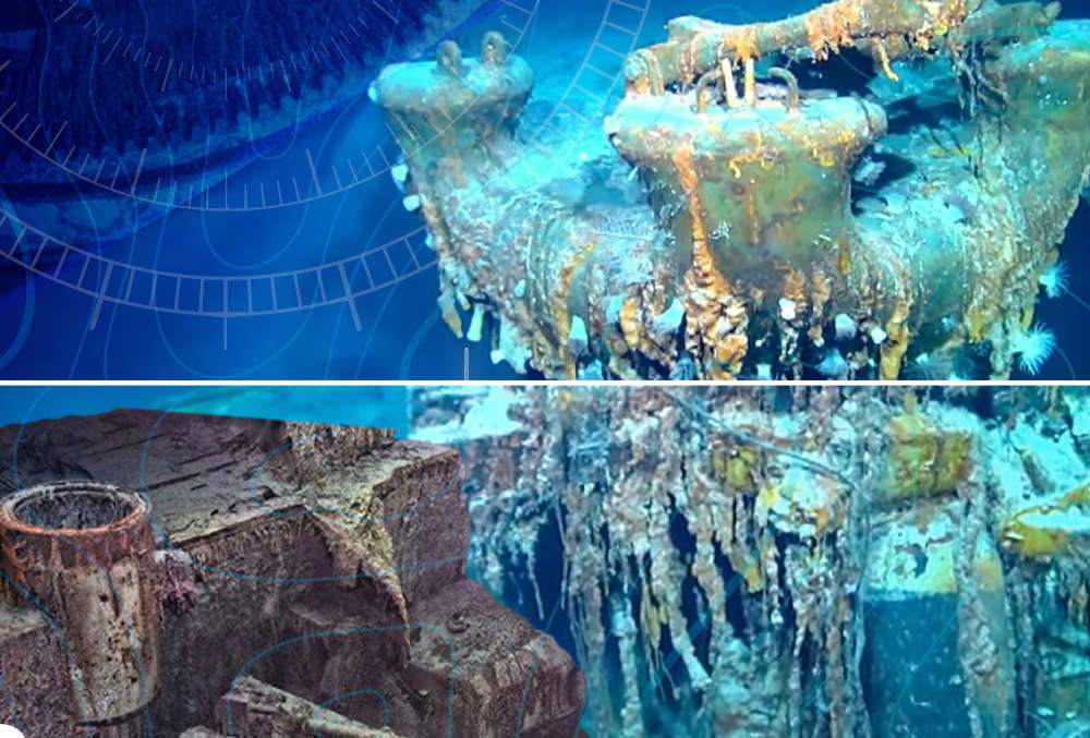
Magellan says the project was more challenging than mapping the Titanic because of the depth involved.
The sinking of the Bismarck is a famous naval battle that took place in the north Atlantic in May 1941.
The pride of the German Navy was sunk by Allied aircraft and battleships, although historians say her crew also set off charges to scuttle her.
Magellan, which has its corporate base in Guernsey, has successfully mapped the Bismarck, creating what it calls a 'digital twin' that is accurate to the millimetre.
The wreck was discovered in the late 1980s and lies approximately 400 miles west of Brest in Brittany, in nearly 16,000 feet of water on the side of a volcano.
However, the 3D images show it is sitting upright with a large debris field surrounding it.
Magellan says that details like gun rounds and even a painted swastika can be clearly seen in their 'digital twin.'
The company completed the first 3D survey of the Titanic some years ago, but say the Bismarck was more challenging because it sits a kilometre deeper, where the water pressure is extreme and visibility limited.
Magellan specialise in deep ocean surveys and wreck discovery and mapping.
 The Red Arrows pull out of performing over Guernsey
 Guernsey's Ladies' Pool reopens after pollution incident
 Passengers at Guernsey Airport told to expect some flight disruption
 Guernsey flights impacted by UK air traffic control issue
 Engine fault sees private jet diverted to Guernsey Airport
 Travel issues ahead of Channel Islands Pride
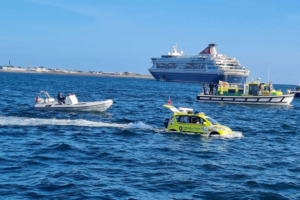 WATCH: Car 'sails' from Guernsey to Sark
 Guernsey donates to Nepali disaster relief effort


Comments
Add a comment