

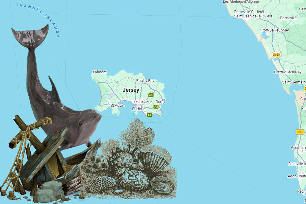
A new digital atlas for Jersey makes it easier to see shipwreck locations, marine habitats and records of dolphin activity.
An interactive map has been created of Jersey's Marine Spatial Park.
The tool has been developed by government to help people understand the 90% of Jersey hidden below the tide line.
It includes the new marine protected areas where dredging and trawling will be banned in two stages, starting this September.
The maps and charts can be seen at Jersey Marine Spatial Plan
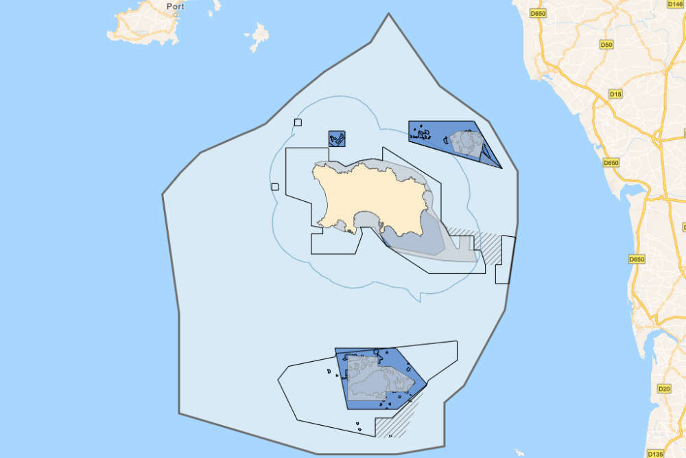
Layers include known shipwreck locations and their date of sinking, a dolphin index showing activity collated from hydrophones that are stationed around Jersey, and a base map that shows the extent of Jersey’s territorial waters.
The atlas was created between I&E's Marine Resources team and Geospatial team to bring the map layers together in a way that is accessible for public viewing.
 Haut du Mont trial: Island Energy 'placed health and safety at risk'
 Deportation recommended after sex-demanding attacker jailed
 Teenage boy arrested on suspicion of sexual touching at Millbrook Park
 Eyes up! It's Air Display day...
 Haut Du Mont Trial: 'It could explode', jury hears 999 calls
 Haut Du Mont Trial: Worker checking gas valves spent almost 'entire' time on his phone
 Red Arrows still expected for Jersey Air Show
 Haut Du Mont Trial: Gas works were 'sloppy, unsafe, and cut corners', allege prosecutors