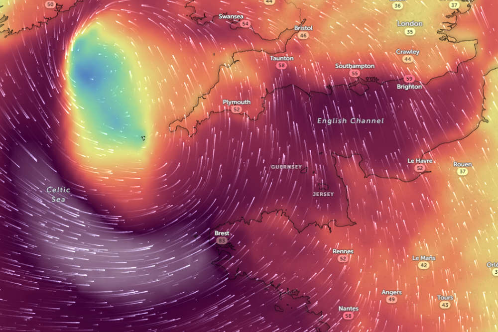
Jersey Met says it's expecting to issue rare red weather warnings for damaging winds and coastal flooding as the Channel Islands brace for Storm Ciaran.
The storm, which has been named by the UK Met Office, is set to hit on Wednesday evening (1 November) and into Thursday.
Emergency Planning Officers are meeting as part of a Pan-Island Tactical Co-Ordination Group (TCG) to review the potential risks, with further instructions being released as the storm approaches.
Regardless of any further N/S shifts, it does look as though our friends over at the Channel Isles will take the brunt of strongest gusts from Storm Ciarán - here it is highly possible that 90-100mph gusts could be reached. pic.twitter.com/CDXj2PhGsh
— UK Weather Updates (@UKWX_) October 30, 2023
Senior forecaster Matt Winter has been telling us what we should be expecting.
" Initially, I think we are looking at gusts of 60-70 mph Wednesday night into the early hour of Thursday.
Then during Thursday morning (6am-12pm) we are expecting a swathe of exceptionally strong wind to move across the area, with gusts 80 to 90 mph."
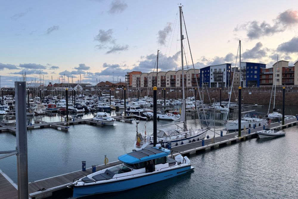
Boat owners are being told to move their vessels to a safe location or make sure it is 'adequately secured'.
Some weather-watchers online are comparing Storm Ciaran to the 1987 storm, which tore roofs from buildings and uprooted hundreds of trees.
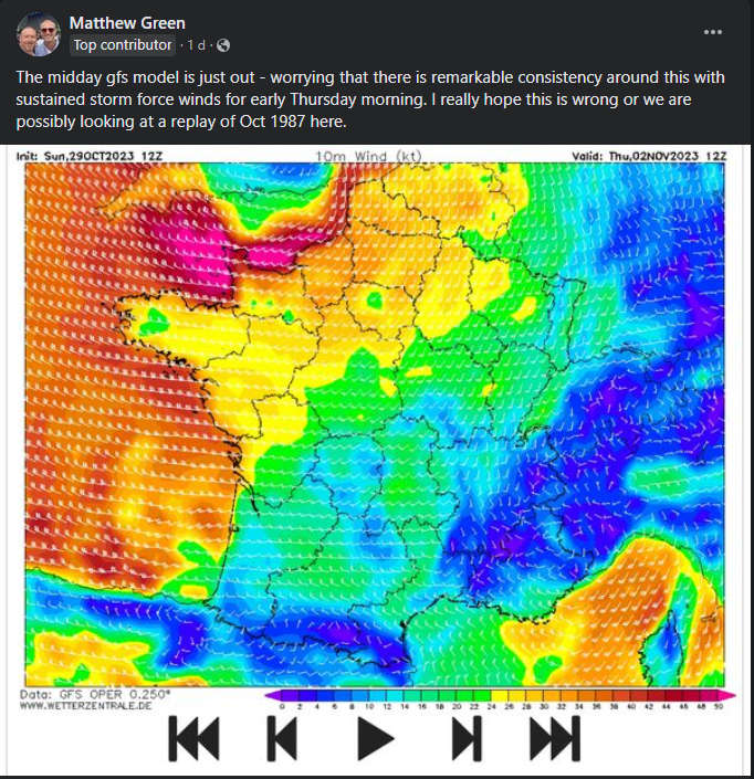
Matt Winter says it is a similar weather system to 36 years ago:
"At the moment, the current forecasts are going for winds quite as strong. Our strongest winds are expected to come in a little bit less than the 1987 event, and more from a southwesterly direction which is a more usual direction to see gales coming in from - so potentially trees not as vulnerable, but it is still going to be a very disruptive storm."
Condor has warned it could see the longest spell of disruption in its history, with no high-speed sailing for more than seven days.
The company says Storm Ciaran and further unsettled weather over the weekend could also see the slow boats - the Cipper and Goodwill - being cancelled too.
It says it is making every effort to ensure food and medicine supplies reaches the island.
Matt Winter says the weekend shouldn't be as disruptive as Wednesday and Thursday.
"Winds are still going to stay strong and it's very likely we will see some gales around, but at the moment it is not as likely for us seeing severe gales or storm force winds with any of the low pressure systems coming through into the weekend compared to the one we are going to see Wednesday into Thursday."
Jersey's Emergency Planning Officer, Kevin Murphy said people should 'remain vigilant and prepared for severe conditions'.
"This is an active situation, and we are closely monitoring the evolving weather patterns and will be releasing further instructions and advice through our official channels in due course.
Further updates will follow, and Islanders are requested to adhere to any further guidance issued."
 Trio of Laureates lined up for Jersey Festival of Words
 Recovery Hub website offers free mental health courses
 Jersey and Guernsey both lift trophies in Siam and Muratti weekend
 Police Chief blasts 'unacceptable' levels of drink-driving
 Islanders encouraged to foster with new model of support
 International blues musicians play Royal Square for free
 Exhibition looks 'beyond the diagnosis' of dementia
 Crew found with early effects of carbon monoxide poisoning